Blog Image

travels with janne

Where land merges with sea

Denmark Posted on 13 Dec, 2020 14:33

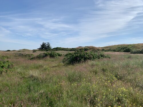
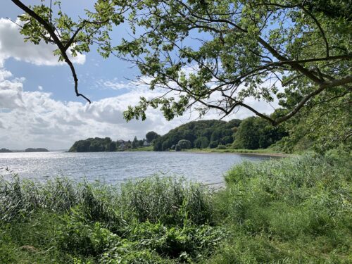
If there is one word that can describe the western part of South Jutland, it is “flat”. It is a land of endless horizons and big skies.

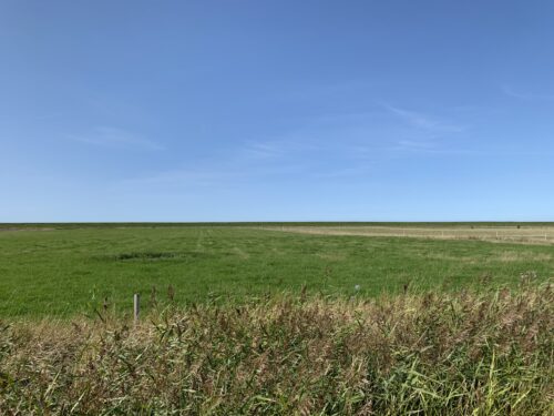
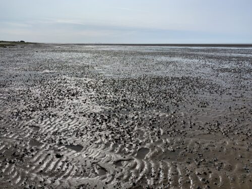
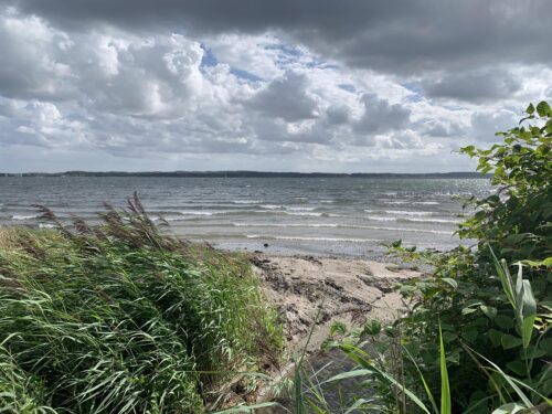
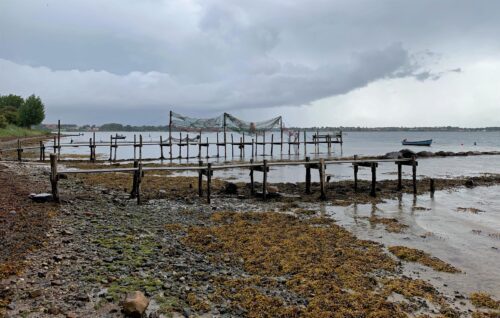
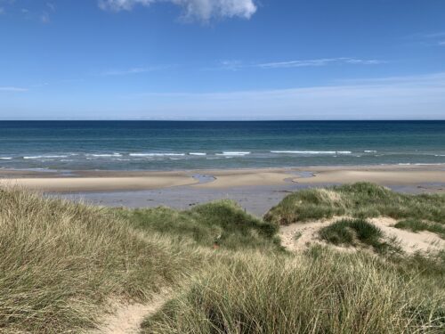
At the west coast the land peters out and becomes ocean in tidal flats known as the Wadden Sea, which is part of the North Sea. It is the largest tidal flats area in the world and is a UNESCO World Heritage Site.
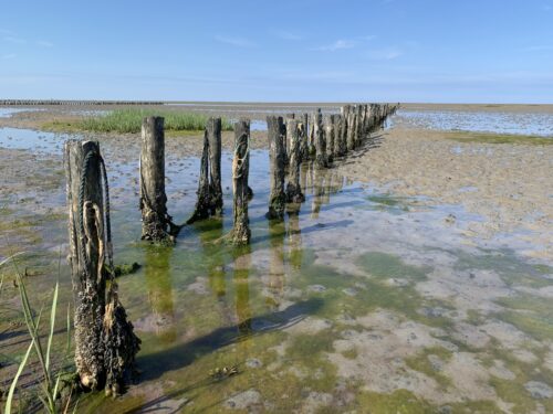
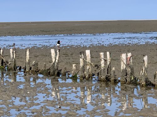
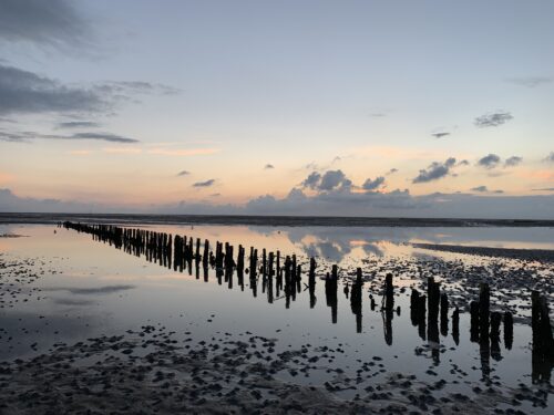
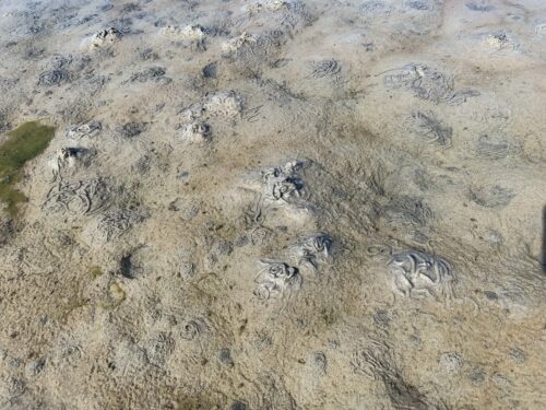
The Wadden Sea is an important habitat for birds and other creatures, and at low tide all sorts of interesting things appear. The wormy looking things are poop from lugworms. They vacuum their way through the sand, using bristles to pick up bacteria and other tiny things, then egest the cleansed sand on the surface. The screeching bird in the video is an oystercatcher, not at all pleased by our presence.
A couple of friends living in South Jutland and I spend some days on the tiny island of Mandø (8 m2 or 86 sq ft) in the Wadden Sea. The island population is a mere 35 people, and there is not much happening here. It is the perfect place to unwind, listen to birdsong, go for walks and gaze at sunsets.

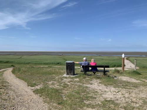
Crossing over to the island is an adventure in itself because the road is only visible at low tide. It seems to disappear into the horizon as if leading us all the way to England (or Canada!)

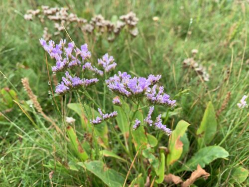
A walk around the island is a pleasant 10 km excursion, but you need to time it right and walk at the right speed so that you don’t get caught by high tide. Along the way we find salt-loving sea-lavender.
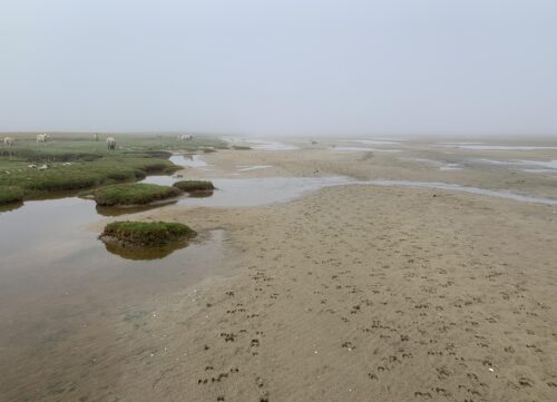
The incoming water creates artful pools. As the tide flows towards land, we need to hop farther and farther to stay dry-footed. The fog lends a sense of mystery and infinity.

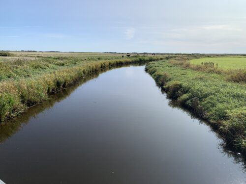
Dykes and canal prevent farmland from being flooded. Further inland, a variety of blooms lend colour to the landscape. 

One of the most impressive natural phenomena in southwestern Jutland is the gathering of hundreds of thousands of starlings at dusk in the spring and autumn. They settle down for the night in the marshes, perching precariously on the grasses. A few arrive at first, like the first random snowflakes at the start of a snowstorm. Dozens, then hundreds more arrive until there is a veritable bird blizzard. Up and down, back and forth they fly in an aerial ballet that aims to confuse raptors before they suddenly descend in unison, like one organism.


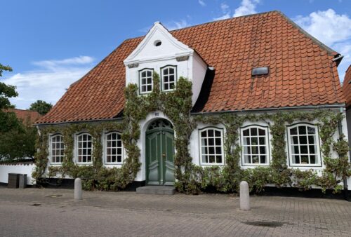
Exploring towns that used to be German

Denmark Posted on 11 Dec, 2020 15:28

Aside from hiking the Gendarme Path in the southeastern part of South Jutland, I spend days exploring several other parts of South Jutland. From 1864 to 1920 this whole area was part of Germany.

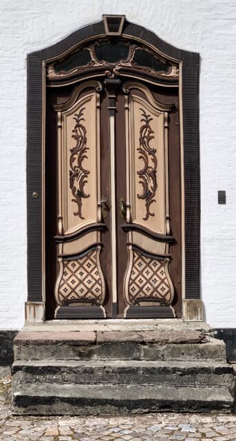
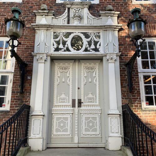
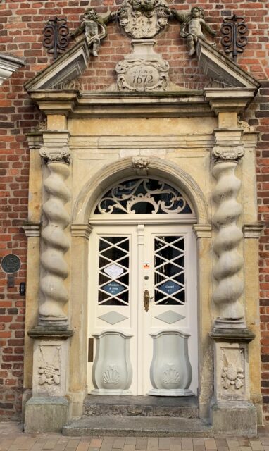
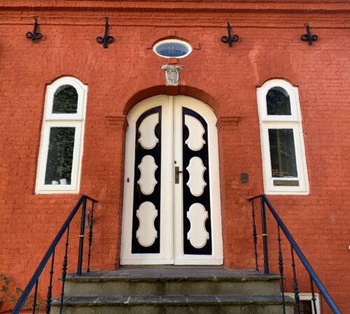
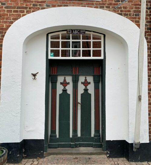
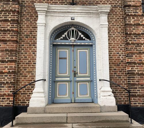
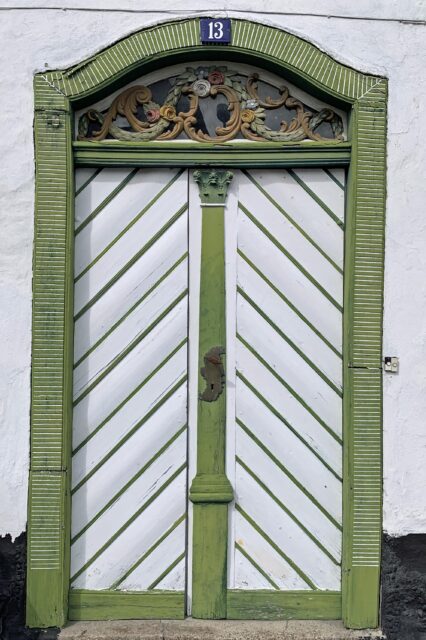
Not far from where my friends and I hiked the Gendarme Path is the small town Augustenborg. It grew up around the castle Augustenborg Slot, which was built in the period 1770-1776. So, while the Americans were fighting bloody battles to free themselves from British colonialism, the Danish aristocracy was building castles and pretty houses, many of which have fancifully decorated doors.


Further west lie another couple of charming towns with amazing doors. The town of Tønder was mentioned already in the 1100s by the Arabian cartographer Al-Idrisi. In 1243 it was officially designated a market town, making it Denmark’s oldest with this official designation (next oldest are Copenhagen (1254) and Ribe (1269), the latter of which we’ll get back to shortly).

   
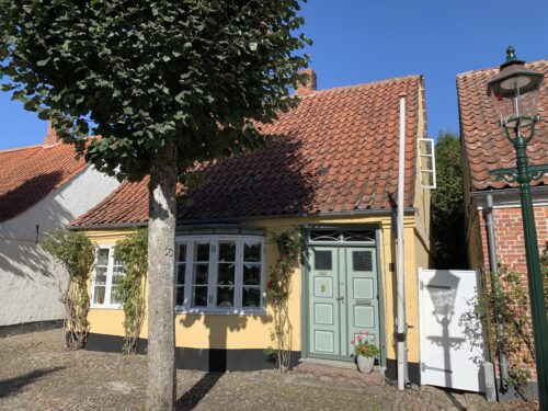
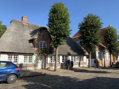
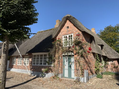
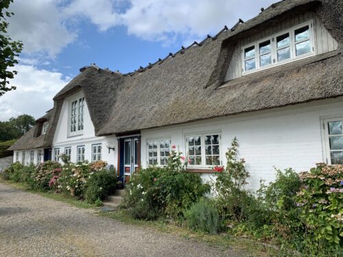
Just a few kilometres from Tønder is the town of Møgeltønder. Its claim to fame is the baroque castle Schackenborg Slot from the 1600s, which has been the home of royals and other blue-blooded types for centuries. The town, with its famous inn Schackenborg Slotskro from 1687, cobbled streets and picturesque houses from the 1600s and 1700s, has an ambience all its own.


Doors and drawings from the past
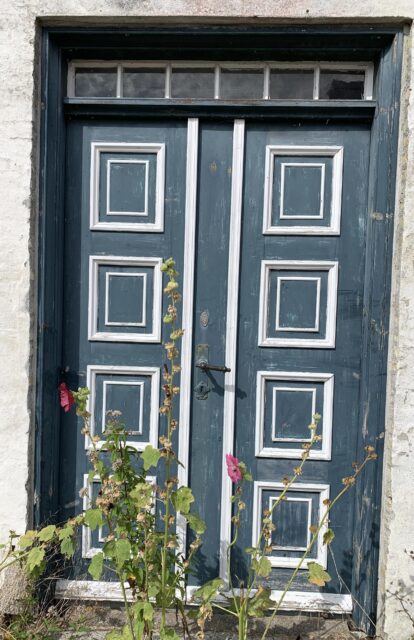
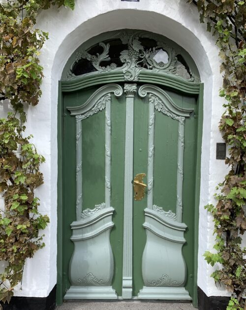
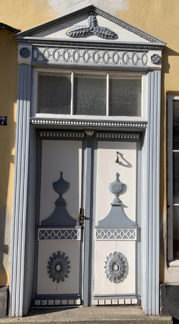
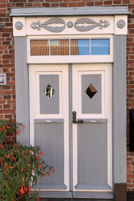
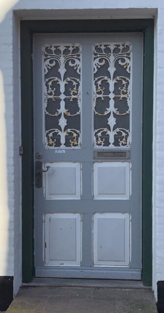
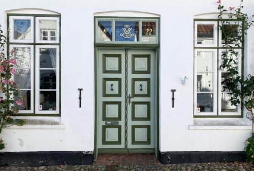
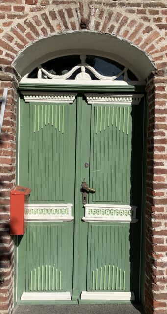
Møgeltønder also has incredibly pretty doors. I love these old doors and can’t help taking pictures of them!

   Walking further down the cobbled lanes past the castle, the inn, and the quaint houses brings you to the ornately decorated church that was built in the middle of the 12th century.

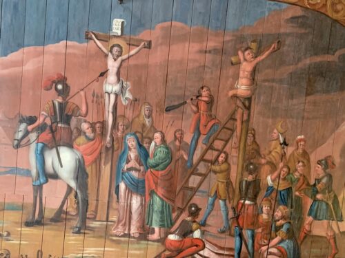
The fanciful paintings on the church’s ceiling are from the 1500s. They depict biodiversity in Eden, and barbarism, cruelty and judgment on Earth and in Heaven and Hell. Apart from the biodiversity these concepts do not sound very appealing to me.

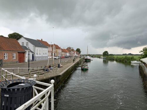
As I mentioned earlier, the town of Ribe is one of the oldest market towns in Denmark. Although it was officially designated a market town in 1269, it is actually much older. Ribe was established sometime between 704 and 710, making it Denmark’s oldest town. This was the time of the Vikings! Its location by the river Ribe Å, which leads into the North Sea, made it ideal for trade.

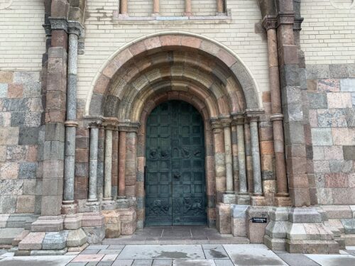
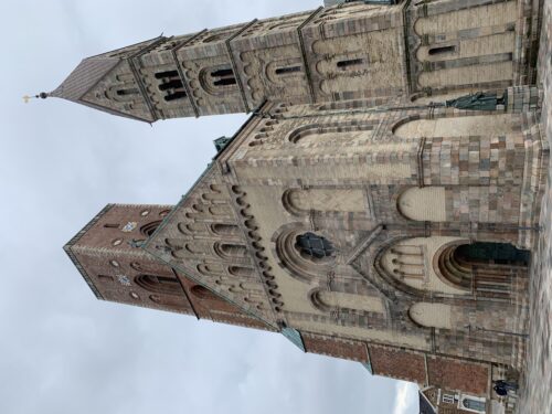
The historic cathedral is from about 1150.

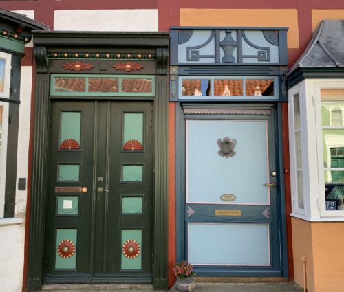
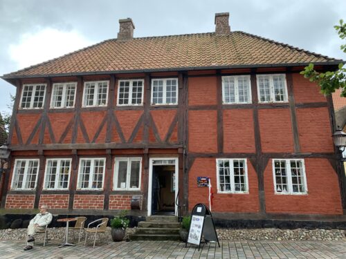
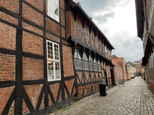
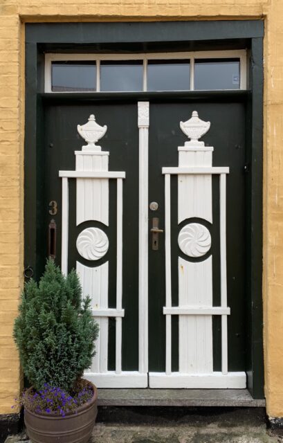
The half-timbered houses and cobbled streets have lasted well through the centuries, as have the colourful doors.


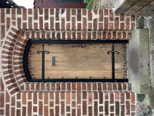
Even the door to the public toilet is picturesque!


In the footsteps of the gendarmes

Denmark Posted on 10 Dec, 2020 14:15

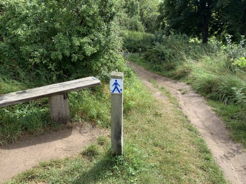
Although the border between Denmark and Germany has moved north and south like fashion’s skirt lengths have moved up and down lady’s legs throughout the centuries, it has continually been necessary to patrol the border and collect customs duties. Until 1958 this job was carried out by gendarmes. During the periods when the border was where it is now, part of the route that the gendarmes covered hugged the coast of Flensborg Fjord. This route has now been turned into an 80-kilometres long hiking path called the Gendarme Path.


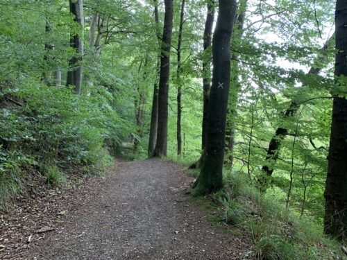
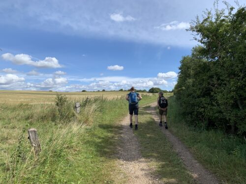
Three friends and I lace up our hiking boots and go walking on the route. It takes us four days to walk the 80 km. We start in the hilly, lush green, sun-dappled Kollund Forest.

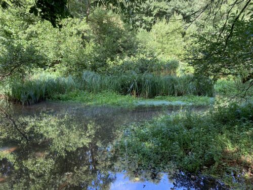
We discover ponds, flowers and a Silver Y moth that unveil themselves like secret gems when we approach.

We also discover the controversial fence and cattle grids that presently separate Denmark from Germany. They were established to keep out wild pigs and, hopefully, African swine fever in order to protect the Danish pig industry. However, it obviously makes it difficult for other wildlife to migrate back and forth. Deer regularly get stuck in the fence and suffer miserably or even die. To add insult to injury, wild pigs swim quite well, and have been seen paddling happily in the fjord, so I don’t know how effective the fence actually is.


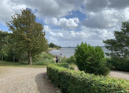
As we walk along the coast, we can see Germany on the other side of the water. So can the cows, that chill out in their hilly pastures with pleasing views. The villages we pass through have old but gorgeous and well-tended villas (expensive I bet!).


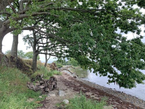
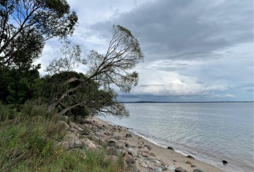
The scenery shifts from verdant forest to pebbly beach with trees angling towards the water to dramatic, eroding cliffs.

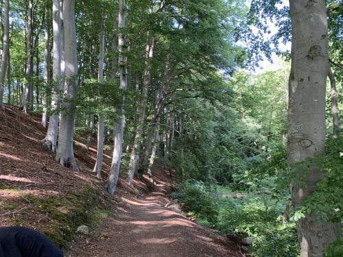
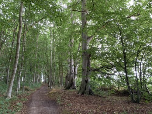
We ascend into an airy beech forest from which trees tumble down when their foundation slips away.

And on a windy day we discover a boat deck that buckles and sways on the waves – just too tempting for us to keep away from.
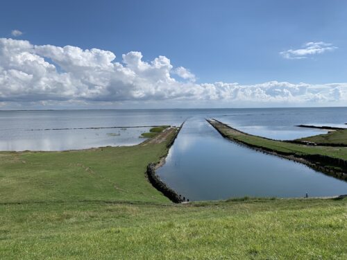
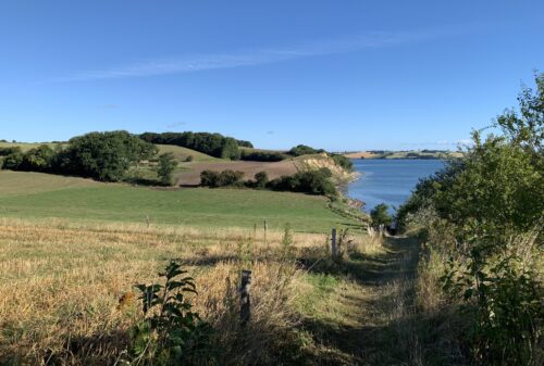
Finally, we emerge into farmland before reaching our final goal in the town of Sønderborg. This town was built up around Sønderborg Castle, which was built before 1200. Denmark has such a long and rich history!


From glory to humility – and back again

Denmark Posted on 09 Dec, 2020 12:56

Denmark is a small and peaceful country but it was not always so. A few hundred years ago, Denmark included Norway, some of Sweden and parts of what is now Northern Germany. Wars, intrigues, power struggles and politics ate away at Denmark’s borders.

In 1864, Denmark was defeated by the Austro-Prussian army and was thereby reduced to being one of Europe’s smallest nations. This final, humiliating battle was fought at Dybbøl Mølle, which is now one of Denmark’s important historical sights (photo below).

Instead of wallowing in self-pity, the Danes had a motto “What has outwards been lost shall inwards be won”. In other words, they set about consolidating what was left of their land. Moors were ploughed, bogs were drained and dykes were built to dry up marshlands and shallow sea – all to create more farmland (nature conservation was not a big thing back then).

The homecoming of the territory
The new wave of self-reliance and national pride also had sweeping cultural, social and commercial effects. All that is a long and interesting story, but this is not a history lesson. It is just an introduction to my summer’s exploits, so please bear with me a bit more. Let’s fast forward to the end of World War I in 1918.

Germany had just lost the war. In the northernmost part of Germany, Slesvig (which had previously belonged to Denmark), about half of the population spoke Danish and were Danish-minded. What to do? To make a long story short, a plebiscite was held. The result was that in 1920 the Danish border moved south and Denmark became at bit larger. The border was drawn through the middle of Slevsig so that primarily Danish-minded North Slesvig was reunited with Denmark.

That momentous event happened exactly 100 years ago this year and Denmark intended to celebrate it in a big way. All sorts of plans were laid but then the coronavirus appeared on the scene and put paid to most of it – except my personal plan of focusing on Southern Jutland in my summer’s excursions. So let’s get going! Stay tuned for the next blog article.


15 – Reaching the tip of Denmark

Uncategorised Posted on 04 Dec, 2020 13:38

Do you remember my tale of hiking all the way through Jutland from the German border in the south to the tip of the peninsula in the north (if not, have a look at my travel blog). When I left the travel blog last year, I had reached the official goal of the trail called Hærvejen (“Army Road”) at the town of Hirtshals and just needed to walk 35 km or so more to reach my personal goal at the pointy tip of Denmark. Well, I reached my goal in June of this year.


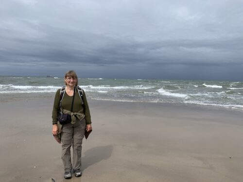
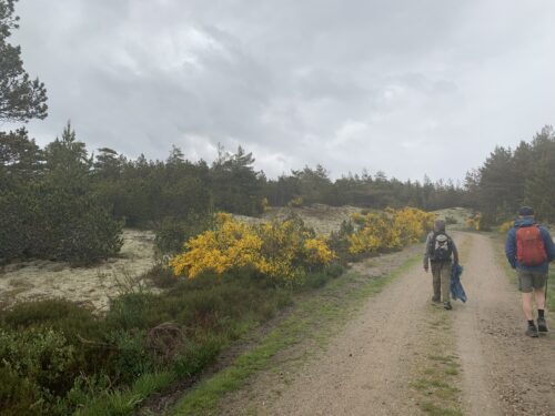
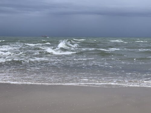
Together with three friends I spent a weekend hiking the final stretch. We began where I left off last year, at a nondescript place by the west coast called Skiveren. The trail hugs the coast, affording grand views of the North Sea.


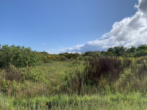
We walk through areas dotted with gorse bursting with bright yellow, and fragrant heather and shrub .


It is a landscape with infinite skies and long-distance views.

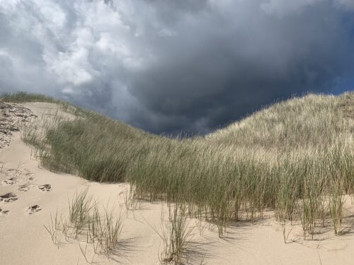
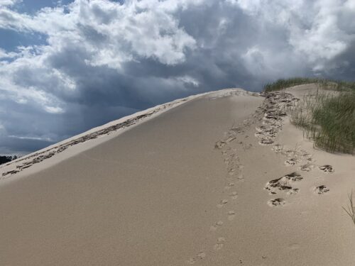
Along the way we pass by Råbjerg Mile, a migrating sand dune that is one kilometre long and one kilometre wide. It contains approximately four million m3 of sand! Its highest point is 40 m above sea level. The dune has been migrating since the 16th century and continues to move east-northeast towards Kattegat at a rate of more than 15 metres per year. Walking in the loose white sand is a struggle.


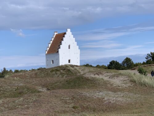
Drifting sands have also buried most of the church outside the town of Skagen. The first mention of this church was in 1387. Now all that is visible is the church tower, which was built at the end of the 14th century and renovated in the 17th century – all to no avail because by 1798 the church was closed because it was buried in sand.


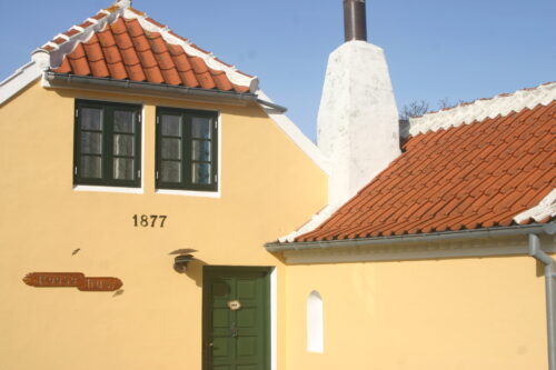
The town of Skagen is characterised by red-roofed yellow-painted houses that snuggle in the white-sanded dunes.

Skagen was traditionally a fishing village, but because of the distinctive light, many artists were attracted to the area and a colony of outstanding artists emerged. Since this northernmost tip of Denmark is only about four kilometres wide, the sunlight is reflected from two contiguous bodies of water – the North Sea in the west and the Kattegat in the east. The waves splash into each other from the two directions.

Fishery is still an important industry and places serving freshly caught fish abound.

The ambience of Skagen, its birdlife, seals, beaches, art museums, upmarket restaurants and nature attract thousands of tourists during the holiday months.


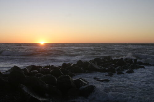
Fortunately, my friends and I are here in June, so the area is not yet overrun and we can enjoy the warm glow of the sun on the water undisturbed.

In this final stage of the hike we covered 52 km. All told, I have walked 655 km from south to north, 419 of them alone and the rest with friends. Reflecting back on this multi-year project, I think what a great way it was to discover Denmark with its rich history and variety of landscapes and seascapes. I’m now ready for the next hiking project!


4 – Tromsø specialties: Sami, reindeer and northern lights

Norway Posted on 14 Feb, 2020 13:45

Part of my arctic adventure includes visiting Sami people, where we hear about their culture and language. The Sami are traditionally nomads who follow the reindeer as they migrate in the search for better pastures. Nowadays, the reindeer are kept closer to home, sometimes fenced in, and the Sami live not in tents but in wooden houses.

I am not sure how sustainable this modern type of farming is compared to the traditional migrations. During the winter, I fear that the reindeer overgraze the slow-growing vegetation. Their feed is even supplemented with lichen that the Sami gather during the summer and autumn. It could be interesting to learn more about this lifestyle someday, perhaps during a summer visit to the area. As it is, we ride in sleighs pulled by reindeer in the winter darkness. It is so dark that I never even see who I am sitting beside.

Besides meeting reindeer and Sami people, another main winter attraction of Tromsø is to try and catch a glimpse of the eerie northern lights (Aurora Borealis).

That is not so easy. It requires clear skies (and we experience lots of clouds and snow) and active solar winds (which is not in the stars for us, unfortunately).

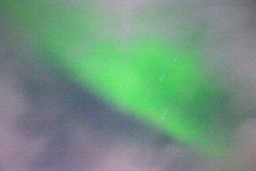
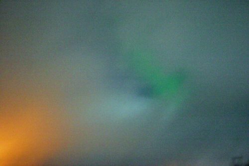
The shimmering green curtains in the sky that I had hoped to see do not appear and, unfortunately, I am caught off guard and do not have my tripod with me when something finally turns up. However, the camera lens is much more sensitive than the human eye (especially when all the settings are adjusted to night photography), so what appears to be a faint and wispy cloud with a slight tinge of green turns out to be quite green once photographed. Back home, I give it a bit more light in Photoshop and voilà – something that looks like an abstract painting created by Mother Nature.
Playing around with night photography for the first time also gives me a shot that looks like an impressionist George Seurat painting.


3 – Mountain heights and lofty cathedrals

Norway Posted on 13 Feb, 2020 10:20

On a lighter note, I also take a walk over the bridge from Tromsø to the other side of the fjord. After about an hour of trudging through the snow, I reach the cable car station and take the ride up to the top of the mountain. Through wind and blizzardy snow, I manage to take a few fog-shrouded photos before scurrying into the building to grab a cup of hot chocolate.
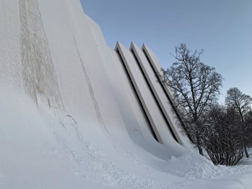
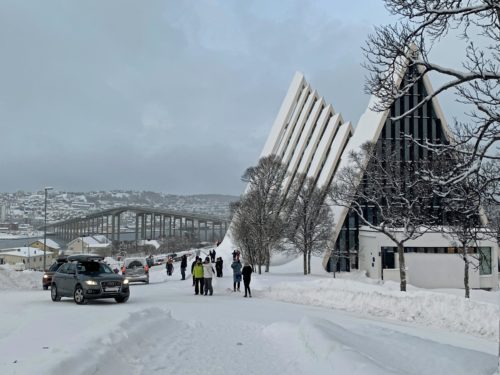
On the way back to town, I stop in at the Arctic Cathedral (which is actually not a cathedral but a parish church). Its nickname in Norwegian, Ishavskatedralen, means arctic sea cathedral.

Note the bridge and the city of Tromsø in the background in the photo below:  Built in 1965, it has an impressively large and beautiful stained glass window.
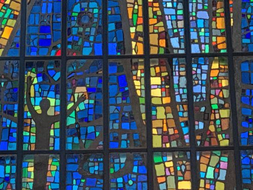
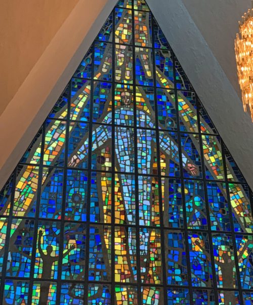
Returning back by the bridge, I catch a photo of the afternoon light.
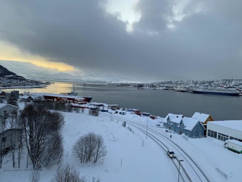
Although north of the Arctic Circle, Tromsø enjoys relatively warm weather compared to other places on the same latitude due to warming from the Gulf Stream. This means that trees can grow. And that many of the buildings are made of wood. The colourful old buildings stand out up in the otherwise white cityscape.
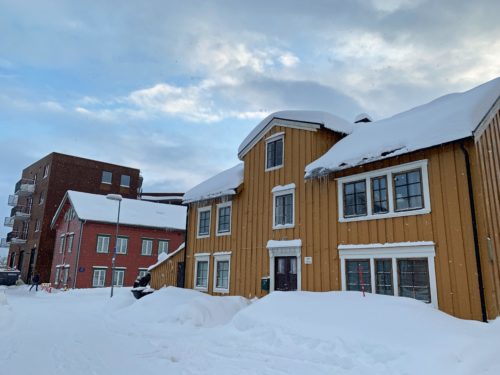
Tromsø Cathedral was built in 1861 and is Norway’s only wooden Protestant cathedral.


2 – Exploring, hunting and trapping in times gone by

Norway Posted on 12 Feb, 2020 10:56

As a coastal town, Tromsø was once the centre for hunting, trapping, and trade expeditions, as well as being the setting off point for many Arctic explorations. The polar expeditions included those of Roald Amundsen (who discovered the Northwest Passage and who led the expedition that was the first to reach the South Pole), and Fridtjof Nansen (who led the cross-country ski trek that was the first expedition to cross the interior of Greenland). Quite some guys, these Norwegians!The excellent Polar Museum describes the various adventures, many of which went to the Svalbard archipelago that lies even farther north and is even more remote than Tromsø. The area teemed with furry or blubbery wildlife, so the hunt was on for various types of seal as well as walruses, polar bears, Arctic foxes, reindeer, whales, birds and fish.
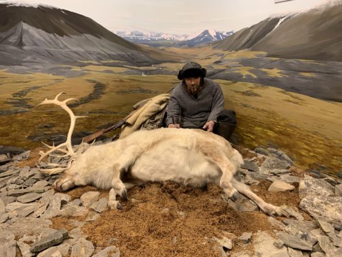
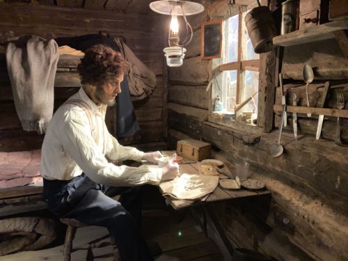
As seems to be the case everywhere humans set foot, some of the species were hunted almost to extinction before regulations set in. The Polar Museum has several well made tableaus and stuffed animals that illustrate the life and times of hunters and trappers.  The numbers of polar bears killed in the period up to as late as the 1970s is appalling, as were some of the methods used. In the 1920s, for example, about 900 polar bears were killed every single year. The hunters used guns, poison, traps, and baited self-shooters like the contraption pictured below, where the polar bear pokes its curious head into the baited box and triggers a sawed-off gun that shoots it. Sometimes the polar bear died; sometimes it was merely wounded. Often, motherless cubs were left behind.
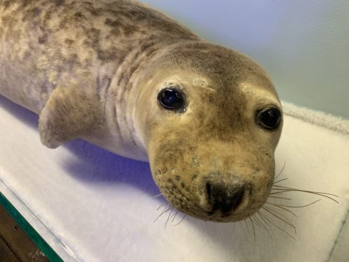
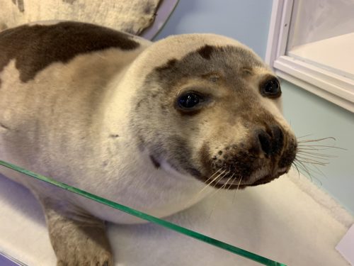
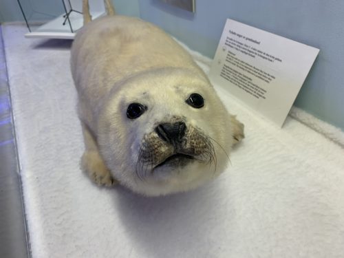
Seal pups, like the three different kinds of stuffed ones pictured below, were bashed on the head with a blunt instrument to render them unconscious after which they were hit on the head with the spiked side of the same instrument to kill them – instantly, so it is said.

« PreviousNext »