 I park my car in the southernmost part of Denmark by
the town of Bov. This is as far south as it gets before turning into
present-day Germany. However, this was once Denmark. That was before 1864,
before one of those disastrous wars in which Denmark lost parts of itself. I walk unhindered across the unmanned border
and find myself in Germany. Such a different way to enter into a country
compared to less free or more paranoid areas of the world, where being
fingerprinted, checked and frisked by stern men wearing weapons is the order of
the day. Here, nobody even notices me.

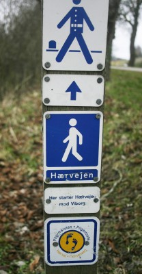
This is where the Danish section of the historic road
Hærvejen begins – or ends, depending on your approach. Hærvejen means “army
road” and denotes that this road has often been used by armies marching to wars
further south in Europe. It has also been used by merchants on their way to the
markets in cities like Hamburg and by pilgrims on their way to Jerusalem, Rome
or other places holy to them. 
The ancient cobblestones are visible here. This part
of the road was the way to the city of Flensburg from the end of the 13th
century until around 1800 when it fell into disuse because other roads were
used instead.
Along the way are stone markers. They indicate who had
the responsibility for maintaining the road. Sometimes it was a farm, sometimes
a whole village, but in general, the locals helped each other with the work.
The air is chill and brisk but pleasant for walking. I
walk through the town of Bov. After a while I come to Bommerlund Plantage, a
quiet and peaceful wood. Here, the story goes, is the origin of the famous
Bommerlund snaps. In 1760, an exhausted, sick and wounded French soldier asked
to stay at the Bommerlund Inn. When it was time to leave – and pay – he had no
money. Instead, he offered the recipe for a special, fragrant aquavit flavoured
with aniseed, caraway and other herbs. This was the origin of the snaps that is
now sold as Bommerlund snaps. The old inn no longer exists but there are still
remnants of the stones that were used to fence in the cattle when they and
their owners rested at night on their long journey through Jutland. And a stone with a relief showing the travel-soldier was erected in 1960.

Further along, I pass over a lovely granite bridge
with two arches (Gejlå Bro). The present bridge is from 1818 but earlier
versions have been in place for centuries. Since Jutland is crisscrossed with
streams that empty either into the North Sea or the waters on the east coast of
Denmark, there were lots of places where it was difficult for the travelers to
ford the streams with their cattle and vehicles. Hence the need for bridges to ease the way between north and south. The road passing over the bridge is paved with cobblestones.


After passing through woods, agricultural landscapes and small towns with old churches, I arrive at the next bridge, which is Povl’s Bro. This is where I rest for the night, exhausted and footsore after 24 km on my first day.
The bridge is from 1844 and has one self-supporting arch in stone. There used
to be an inn here but I stay at a farm nearby. It is in the middle of the wood,
wonderfully quiet and pitch black at night.


On the second day my energy reserves are rather
depleted. My knees ache and my feet are killing me. Most of the route is now
past farmland. Flat and boring. It is still early in the season, so the fields
are not ploughed yet. The lark hangs high in the sky, trilling happily, and
keeps me welcome company.

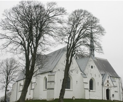
 The walk along Hærvejen mirrors Denmark very well. Modern
agriculture, asphalted roads, and industrial areas blend with woods, moors, old
churches and history. This is Denmark in a nutshell: old and new, cultivated
and natural.
The first stage of this crazy project has brought me
through 42 km of Southern Jutland. Just over 435 km to go!

